California releases CalEnviroScreen 5.0 to identify and prioritize pollution-burdened communities, announces preliminary disadvantaged communities designation
For Immediate Release
Contacts:
OEHHA: Amy Gilson, 916-764-0955
CalEPA: CEPAComm@CALEPA.ca.gov
What to know: The Office of Environmental Health Hazard Assessment is releasing CalEnviroScreen 5.0, the latest version of California’s groundbreaking tool to identify and prioritize communities impacted by multiple forms of pollution, health, and socioeconomic challenges. The new version reflects the latest data and community priorities and adds two new indicators. The California Environmental Protection Agency also is announcing the draft designation of disadvantaged communities for public comment using the improved CalEnviroScreen data.
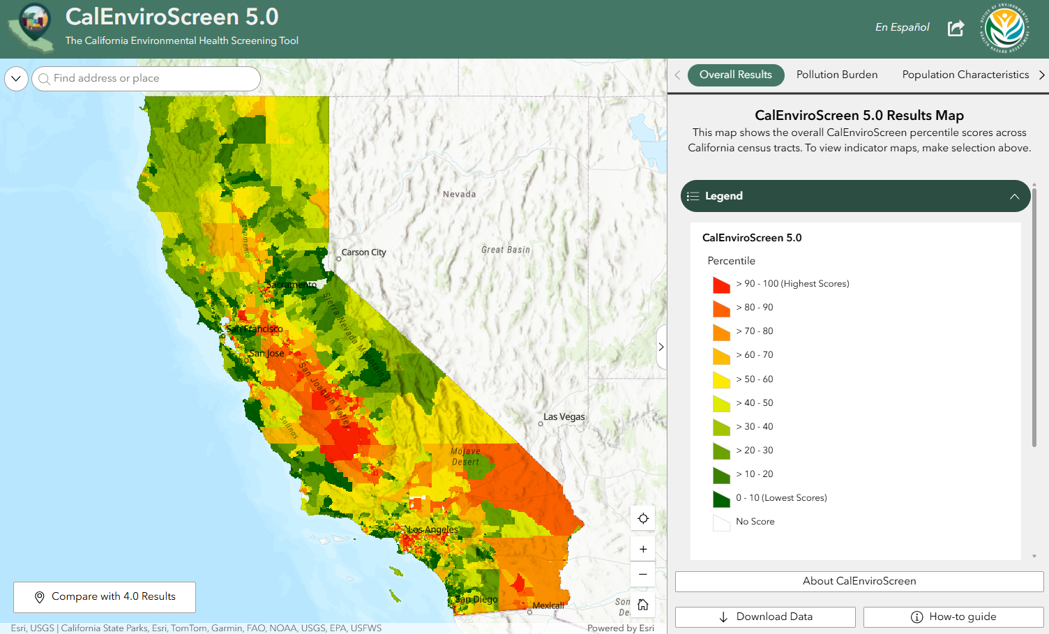
SACRAMENTO — The Office of Environmental Health Hazard Assessment (OEHHA) today released CalEnviroScreen 5.0, an update to the state’s mapping tool that identifies communities hardest hit by multiple pollution sources. Combining data from multiple environmental, health and socioeconomic indicators, the state has used CalEnviroScreen to focus resources and environmental protection actions where they are needed most.
What's new in CalEnviroScreen 5.0
 CalEnviroScreen 5.0 adds two additional indicators - Small Air Toxic Sites and diabetes -to capture additional factors that reflect a community’s pollution burden. These additions were prioritized for inclusion by communities during the update process. The Small Air Toxic Sites indicator accounts for the presence of oil and gas wells and other sites, such as gas stations, reporting air toxic releases that are not already captured in the existing toxic releases indicator. The Diabetes Prevalence indicator reflects vulnerability to pollution as exposure to pollution leads to worsening health outcomes for individuals with diabetes.
This update also includes several improvements to existing indicators, such as new expanded buffer zones around hazardous waste facilities, data for six PFAS chemicals in drinking water, water quality data for additional tribal lands, and children’s blood lead level data. The latest science and data are reflected in CalEnviroScreen 5.0 through more recent data, updated census tract geography, and improved methodologies.
California continues to place science and data at the heart of our policymaking. With the launch of CalEnviroScreen 5.0, we are elevating the nation's premier pollution mapping tool. By integrating up-to-date data layers, refining our approach based on the National Academies of Science, and adding new community health and pollution metrics, we are ensuring that vital state resources and targeted policy benefits reach the neighborhoods that need them most.
– Yana Garcia, Secretary for Environmental Protection
CalEnviroScreen 5.0 also follows recommendations in recent publications from the National Academies of Science regarding cumulative impacts analyses and geospatial screening tools, ensuring the tool remains current with best practices.
CalEnviroScreen 5.0 demonstrates how strong science and meaningful community engagement can work together to strengthen a trusted tool. By advancing our understanding of cumulative impacts, this update helps ensure California can better identify and respond to the environmental and health challenges facing the state's most burdened communities.
– Kris Thayer, OEHHA Director
Explore CalEnviroScreen’s results for individual census tracts on OEHHA’s CalEnviroScreen 5.0 webpage (Spanish).
Listening to impacted communities
What CalEnviroScreen Co-Design Partners are Saying
"CalEnviroScreen is important because it validates the lived experiences of our communities and confirms the environmental concerns we have had for decades and that our families have always known." — Miguel Alatorre, Executive Director at UNIDOS Network
"OEHHA's proactive approach to listen directly from environmental justice communities through regular workshops and feedback integration reflects willingness to lead with frontline communities' expertise." — Carolina Martinez, Former Climate Justice Director, Environmental Health Coalition
"Transparency is an important part of being heard. OEHHA would discuss CalEnviroScreen proposals with us over several meetings, which made us feel like they really considered our feedback. OEHHA's process helped to build trust." — Ivana Castellanos, Toxics Program Manager at Physicians for Social Responsibility-Los Angeles
To develop CalEnviroScreen 5.0, OEHHA partnered with community-based organizations (CBOs) representing communities across California that face some of the highest pollution burdens. Through this statewide community co-design process, OEHHA regularly engaged with CBO partners, community leaders, and residents, gaining deeper insight into community priorities, lived experiences, and emerging environmental health concerns.
In addition to the co-design process, OEHHA hosted seven statewide and regional public workshops on the draft of CalEnviroScreen 5.0, held a written public comment period from on the draft from January to April 2026, and reviewed feedback from previous CalEnviroScreen updates, increasing participation, transparency, and accountability. Together, these efforts ensured community perspectives played a meaningful role in informing key improvements to the tool and demonstrate the value of integrating communities’ lived experience alongside technical, scientific analysis.
CalEnviroScreen and its uses

First released in 2013, CalEnviroScreen provides a statewide picture of cumulative pollution burdens using 23 environmental, health, and socioeconomic indicators across California’s 9,000-plus census tracts. CalEnviroScreen has helped direct $9.2 billion of the state’s $12.8 billion in California Climate Investments to projects benefiting disadvantaged communities and priority populations, including low-income households and communities.
State entities, local governments, and community organizations have also used the tool to drive change, from targeting enforcement of environmental laws in overburdened communities to regional air district rules that strengthen health protections to community campaigns securing major investments in neighborhoods impacted by pollution.
CalEPA releases preliminary disadvantaged communities designation
CalEPA is also releasing the updated 2026 Preliminary Disadvantaged Communities (DAC) Designation (Spanish) using the newly released version of CalEnviroScreen. In addition to designating the most impacted census tracts (census tracts with the highest 25% of CalEnviroScreen overall scores and census tracts with the highest 5% pollution burden scores), CalEPA also proposes maintaining DAC status for areas identified using CalEnviroScreen 4.0 as DACs in the 2022 designation as well as designating lands under the control of federally recognized tribes (where CalEnviroScreen data may be limited).
CalEPA uses CalEnviroScreen to meet the requirements of SB 535 (De León, Chapter 830, Statutes of 2012) and AB 1550 (Gomez, Chapter 369, Statutes of 2016), which require CalEPA to designate DACs based on certain criteria and a minimum of 35% of California Climate Investments to benefit DACs and other priority populations.
CalEPA invites public comment and engagement on the Preliminary DAC Designation through two virtual public workshops, and one tribal workshop, or via written comment. Information about public workshops is available on the CalEPA website.
To submit public comment on the Preliminary DAC Designation, email written comments to DACinquiries@calepa.ca.gov by 5:00 p.m. on August 14, 2026. Once the public comment period and workshops have concluded, CalEPA will address public input and use it to update the Preliminary Designation to become the Final 2026 DAC Designation.
NOTE: OEHHA’s CalEnviroScreen experts are available to walk reporters through the CalEnviroScreen 5.0 maps and data upon request.
About OEHHA
The California Office of Environmental Health Hazard Assessment (OEHHA) is the lead state agency for the assessment of health risks posed by environmental contaminants.
OEHHA’s mission is to protect and enhance the health of Californians and our state’s environment through scientific evaluations that inform, support and guide regulatory and other actions.
As CalEPA’s scientific adviser, OEHHA works within CalEPA and across state government, with other state and federal agencies, businesses, community-based organizations, and Native American tribes across California to develop actionable science that protects public health.
In addition to assessing health risks posed by chemicals, OEHHA develops data tools that support environmental health, performs outreach and education about pesticides and other chemicals, surveys exposure to harmful chemicals through Biomonitoring California, and assists in emergency response through expert consultation on matters related to chemical exposures.
More information about OEHHA can be found on the official website.
About CalEPA
Our mission is to restore, protect and enhance the environment, to ensure public health, environmental quality and economic vitality.
We fulfill our mission by developing, implementing and enforcing environmental laws that regulate air, water and soil quality, pesticide use and waste recycling and reduction. Our departments are at the forefront of environmental science, using the most recent research to shape the state’s environmental laws.
More information about CalEPA can be found on the official website.
###